We Identify the limits of unmarked or historic/pioneer cemeteries.
Identifying the limits of unmarked or historic/pioneer cemeteries has become a priority for many clients in recent years. Boundary demarcation and greave locations for 19th and early 20th century cemeteries derived from historic or archival mapping is often unreliable.
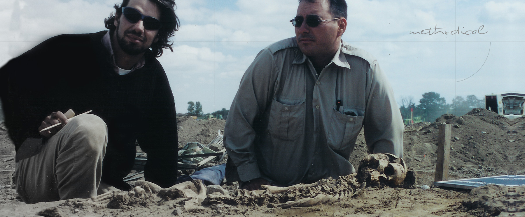
Typically, archaeologists located the presence of graves with a gradall, removing the overburden from the grounds surface to expose graves or grave shafts. This is a reliable method with an experienced operator and archaeologist.
Many people view this technique as insensitive and it has been a cause for concern in many communities in recent years. This technique does not have to be the only option open to clients. With the use of geophysical equipment, we have been able to identify, with a high degree of accuracy, the limits of cemeteries and the numbers of interments present for many cemeteries in southern Ontario. These data provide clients with necessary information for better planning and protection of cemeteries.
We do offer the same cemetery services as other consultants. We no longer however, use third party gradall operators to help strip areas to confirm the presence or absence of graves. Too many times the learning curve for such an operator proved to be costly. For the past 4 years we have been using one of our own licenced archaeologists to operate our company mini-excavator with a smooth bucket to check for the presence of graves. This has proven to be far more efficient and cost effective than a gradall.
In many cases geophysical assessments of cemeteries os the quickest and least intrusive method of grave demarcation. This message has been circulated in conferences and popularized in televisions shows and as a result many locate firms with radar equipment offer this type of service. All too often, we have seen their results backfire on clients. Locate firms simply do not have the expertise to located or advise on the presence or absence of early historic graves or any other archaeological features.
The only qualified person to use geophysical equipment to locate and interpret geophysical findings is and archaeogeophysicist. An archaeogeophysicist is a field archaeologist trained in operating and interpreting geophysical findings as they pertain to archaeological features.
In many cases we have seen firms using the wrong type of antennas, and inappropriate sample size and a frequency that could never pick up an interment of a child being buried for 150 years in a wooden coffin. It is hard to locate a feature type that you have never seen, and after 150 years, what is left of an interment can be extremely ephemeral.